Original: $14.95
-65%$14.95
$5.23The Story
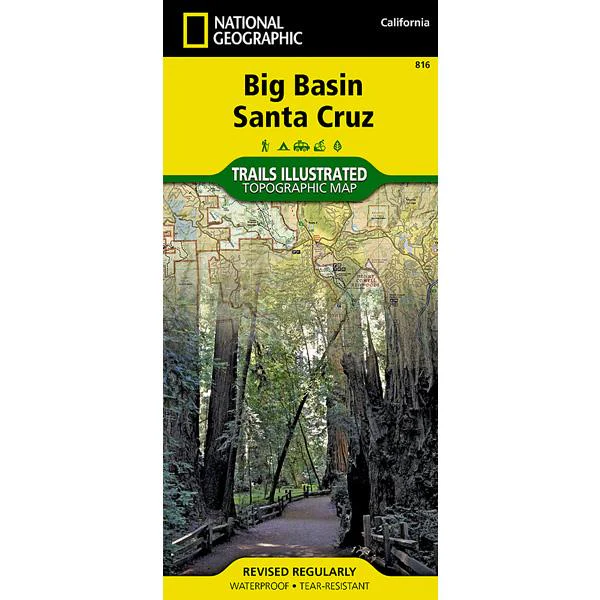
Expertly researched and created in partnership with local land management agencies, National Geographic's Trails Illustrated map of Big Basin, Santa Cruz provides an unparalleled tool for exploring this landscape of redwood forests and picturesque California coastline. Some of this map's key points of interest include Lexington Reservoir; Loch Lomond; and Big Basin, The Forest of Nisene Marks, Wilder Ranch, and Henry Cowell Redwoods (Fall Creek) state parks.
The handy trail chart will help you choose a trail that's right for your activity level and recreation use whether you're traveling by foot, horse, or bike. Trails where leashed dogs are allowed are noted as well. Miles of trails are clearly marked and include mileages between intersections. A camping chart lists campgrounds according to type and the services available at each. The map base includes contour lines and elevations for summits, the Pacific Ocean and some lakes. Public beach access, scenic viewpoints, boat launches, horse camps, and archery ranges are just some of the recreation features noted. Areas for fishing, swimming, and surfing are highlighted as well.
- "Backcountry Tough" waterproof, tear-resistant paper
- UTM grid printed on map to aid with GPS navigation
- Folded Size: 4.25 in x 9.25 in
- Flat Size: 25.5 in x 37.75 in
- Weight: 3 oz
- Scale: 1:40,000
- Copyright Date: 2014
- ISBN: 9781566956758
Description
Expertly researched and created in partnership with local land management agencies, National Geographic's Trails Illustrated map of Big Basin, Santa Cruz provides an unparalleled tool for exploring this landscape of redwood forests and picturesque California coastline. Some of this map's key points of interest include Lexington Reservoir; Loch Lomond; and Big Basin, The Forest of Nisene Marks, Wilder Ranch, and Henry Cowell Redwoods (Fall Creek) state parks.
The handy trail chart will help you choose a trail that's right for your activity level and recreation use whether you're traveling by foot, horse, or bike. Trails where leashed dogs are allowed are noted as well. Miles of trails are clearly marked and include mileages between intersections. A camping chart lists campgrounds according to type and the services available at each. The map base includes contour lines and elevations for summits, the Pacific Ocean and some lakes. Public beach access, scenic viewpoints, boat launches, horse camps, and archery ranges are just some of the recreation features noted. Areas for fishing, swimming, and surfing are highlighted as well.
- "Backcountry Tough" waterproof, tear-resistant paper
- UTM grid printed on map to aid with GPS navigation
- Folded Size: 4.25 in x 9.25 in
- Flat Size: 25.5 in x 37.75 in
- Weight: 3 oz
- Scale: 1:40,000
- Copyright Date: 2014
- ISBN: 9781566956758